Afro-Eurasia
Largest contiguous landmass, comprising Africa, Asia, and Europe.

Keepscases · CC BY-SA 3.0
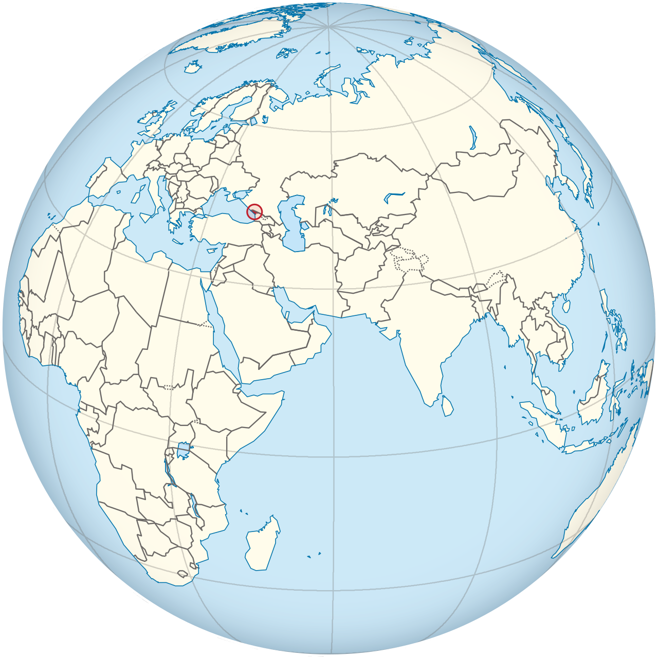
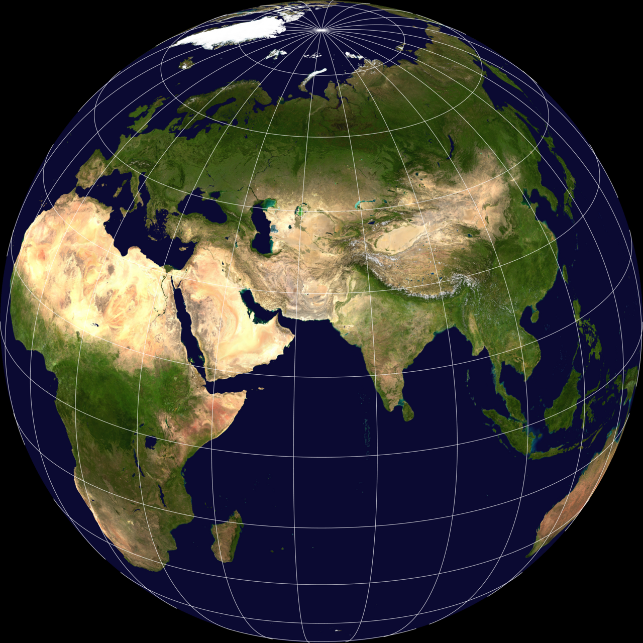
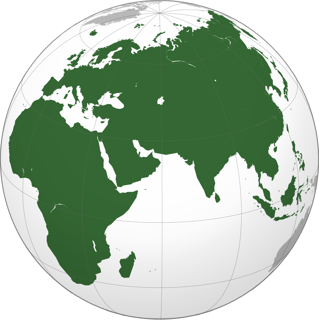
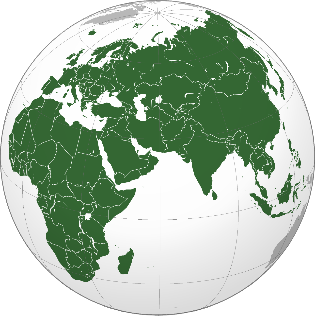
Afro-Eurasia, also known as Afroeurasia and Eurafrasia, is a landmass occasionally described as a supercontinent, comprising the continents of Africa, Asia, and Europe. It is the largest and most populous contiguous landmass on Earth, encompassing 57% of the world's land area and approximately 86% of the world population.
- Population
- Approximately 6.7 billion people
- Percentage of world land area
- 57%
- Percentage of world population
- 86%
Lore & Background
Afro-Eurasia has also been called the 'Old World', in contrast to the 'New World' referring to the Americas plus sometimes Oceania and Antarctica. Mackinder defined the World Island as the large contiguous landmass, technically excluding islands such as the British Isles, the Japanese archipelago, Madagascar, and the Malay Archipelago, while Afro-Eurasia generally includes those islands usually considered parts of Africa, Asia, and Europe.
Reader's Guide
Afro-Eurasia is significant as the largest and most populous contiguous landmass on Earth, containing the vast majority of the world's population and land area. Its tectonic history is complex: the oldest part is probably the Kaapvaal craton, which formed part of the first supercontinent Vaalbara or Ur around 3 billion years ago. The landmass formed through the collision of the Indian plate with the Eurasian plate around 50 million years ago, creating southern Asia and the Himalayas, and later the Arabian plate impacted the Iranian plate between 19 and 12 million years ago. The Betic corridor closed less than 6 million years ago, fusing northwest Africa and Iberia, leading to the Messinian salinity crisis. Today, Africa is joined to Eurasia only by a narrow land bridge split by the Suez Canal.
Did You Know?
- Its population is approximately 6.7 billion, roughly 86% of the world population.
- The oldest part of Afro-Eurasia is probably the Kaapvaal craton, which formed part of the first supercontinent Vaalbara or Ur around 3 billion years ago.
A Name Born from Discovery
Before that year, the peoples of Europe, Africa, and Asia were regarded by their own inhabitants as simply the world — the totality of known land. The arrival of news about the Americas, along with the later recognition of Oceania and Antarctica, shattered that assumption and forced a reclassification. Europeans needed a way to distinguish the continents they had long inhabited from the newly encountered lands of the Western Hemisphere, and so the binary of "Old" versus "New" was born. The "New World" specifically pointed to the Americas and other Western Hemisphere territories, while the "Old World" gathered together Africa, Europe, and Asia in the Eastern Hemisphere. What is striking about this naming is that it is entirely a European perspective; the peoples of those three continents had never needed such a qualifier, because for them there was no "new" counterpart to contrast against. The term thus encodes a particular moment of global self-awareness and a particular cultural vantage point within a single, continuous landmass.
A Shared Bronze Age Heritage
For archaeologists and historians of world civilization, the Old World is defined not by a single culture but by a web of indirect cultural contact stretching back to the Bronze Age. Within this vast connected zone, early civilizations developed in parallel across a band of temperate climate roughly between the 45th and 25th parallels north. The Mediterranean basin and North Africa formed one cluster, while Mesopotamia, the Persian plateau, the Indian subcontinent, China, and portions of sub-Saharan Africa constituted others. Though geographically dispersed, these regions maintained enough indirect contact to produce remarkably synchronized patterns of civilizational development. The fact that multiple independent centers of civilization arose simultaneously in this corridor, rather than in complete isolation, is what gives the Bronze Age its special significance in the story of Afro-Eurasia. This shared developmental trajectory set the stage for the next great transformation: a pronounced Iron Age, which would bring with it an entirely new wave of philosophical and religious thought across the entire landmass.
The Silk Road and the Axial Awakening
The regions of the Old World were not merely neighbors; they were linked by active trade networks, most notably the Silk Road, which bound the Mediterranean, Mesopotamia, the Persian plateau, the Indian subcontinent, and China into a single economic and cultural circuit. Following the Bronze Age, these connected regions entered a pronounced Iron Age, and it was during this period that what scholars call the Axial Age unfolded. The Axial Age refers to a sweeping wave of cultural, philosophical, and religious development that reshaped human thought across the entire landmass. Its fruits diversified into three broad cultural spheres: the Western sphere, encompassing Hellenism and classical traditions; the Near Eastern sphere, giving rise to Zoroastrian and Abrahamic faiths; and the Far Eastern sphere, producing Hinduism, Buddhism, Jainism, Sikhism, Confucianism, and Taoism. The remarkable thing is that all of these traditions emerged within the same connected zone, in the same broad historical window, suggesting that the trade routes and cultural exchanges of the Old World created conditions in which profound intellectual and spiritual innovation could flourish simultaneously in many different places.
The World Island
Beyond the "Old World" label, the mainland of Afro-Eurasia carries another evocative name: the World Island. This designation refers specifically to the continental landmass, deliberately excluding island groups and individual islands such as the British Isles, Japan, Sri Lanka, Madagascar, and the Malay Archipelago. The term is often attributed to Sir Halford John Mackinder, who may have coined it in his work The Geographical Pivot of History. Mackinder's framing treated the World Island as a single geopolitical entity — a vast, contiguous landmass whose strategic importance derived precisely from its size and internal connectivity. By stripping away the scattered islands and focusing on the mainland, the concept emphasizes what makes Afro-Eurasia unique: it is the largest continuous stretch of land on Earth, a single platform on which the Bronze Age civilizations, the Silk Road networks, and the Axial Age traditions all unfolded. The World Island is thus both a geographical descriptor and a conceptual lens, reminding us that the diversity of cultures across Africa, Europe, and Asia developed on one shared, unbroken stage.
Gallery
More in Regions & Cultural Spheres 1-24
Elsewhere in the Regions & Cultural Spheres universe
Spotted an error? Know more?
This is a living reference — every entry is fact-audited, and reader corrections feed straight into our audit queue. Suggest an edit · See this site's audit record